Friends of the Mountains-to-Sea Trail’s trail guides provide all the information needed to complete each of the 18 trail segments and alternate paddle route, including detailed hiking directions, going both east and west; information about where to get supplies, lodging, camping, food, and water along the trail; and trailheads, complete with GPS coordinates. Visual cues in the directions make it easier to plan shorter backpacking trips and day hikes.
The convenient PDF format is easy to carry and read on the trail and quick to update, so it always has the latest route information.
Current members of Friends of the MST receive unlimited free access to digital trail guides, including updates. (See our instructions for accessing the trail guides here.) All members who have donated $35 or more receive this benefit. For more information about becoming a member, visit our membership page.
Non-members can purchase any or all guides through our online store (see links below).
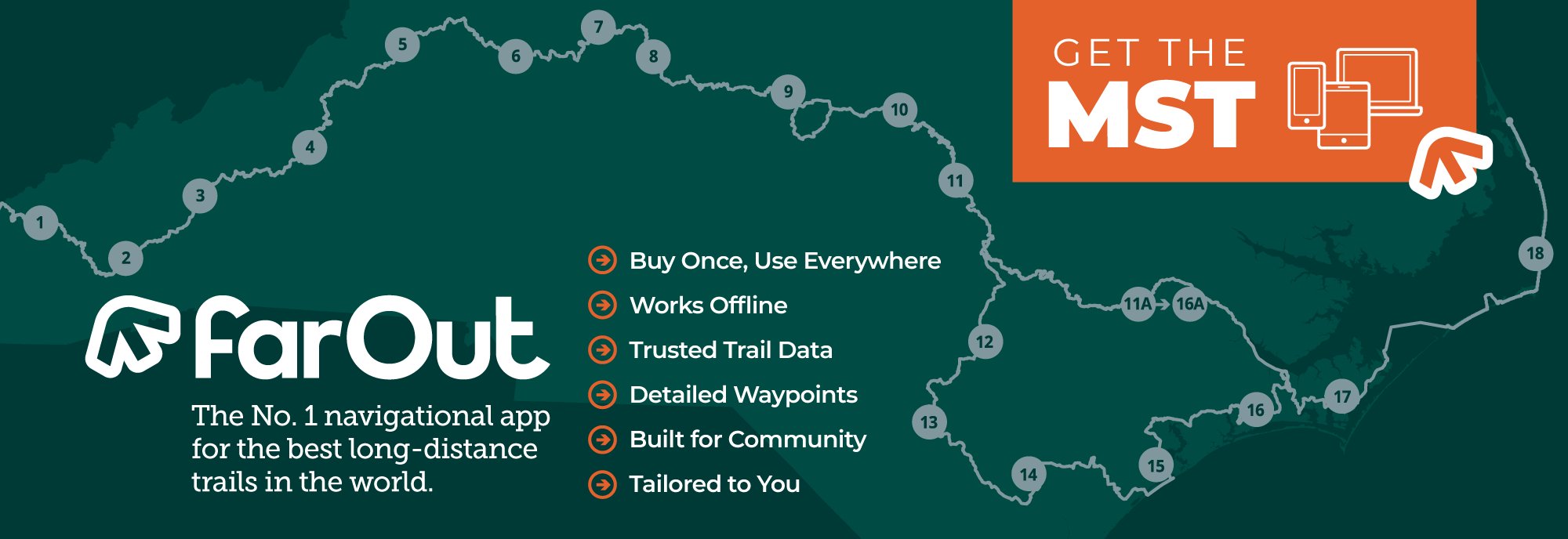
In addition, the MST is available on FarOut, the world’s leading trail app.
To learn more about the location of each trail segment, visit the Trail Segments page of this website or click on the checkbox “trail segments” on the interactive Google map.
Please send comments and suggestions about the guides to Jim Grode, Trail Resource Manager, at jgrode@mountainstoseatrail.org.
Mountains
Segment 1
Peak to Peak: Clingmans Dome (Kuwohi) to Waterrock Knob
Download Guide: Friends Members | Non-members (Revised 5-30-2024)
Segment Profile
Segment 2
The Balsams: Waterrock Knob to Pisgah Inn
Download Guide: Friends Members | Non-members (Revised 5-30-2024)
Segment Profile
Segment 3
The High Peaks and Asheville: Pisgah Inn to Black Mountain Campground
Download Guide: Friends Members | Non-members (Revised 5-30-2024)
Segment Profile
Segment 4
Gorges, Peaks & Waterfalls: Black Mountain Campground to Beacon Heights
Download Guide: Friends Members | Non-members (Revised 5-30-2024)
Segment Profile
Segment 5
The High Country: Beacon Heights to Devils Garden Overlook
Download Guide: Friends Members | Non-members (Revised 7-25-2024)
Segment Profile
Piedmont
Segment 6
The Elkin Valley: Devils Garden Overlook to Pilot Mountain State Park
Download Guide: Friends Members | Non-members (Revised 7-25-2024)
Segment Profile
Segment 7
The Sauratown Mountains: Pilot Mountain State Park to Hanging Rock State Park
Download Guide: Friends Members | Non-members (Revised 5-30-20243)
Segment Profile
Segment 8
Rivers, Railroads & Lakes: Hanging Rock State Park to Greensboro’s Bryan Park
Download Guide: Friends Members | Non-members (Revised 5-30-2024)
Segment Profile
Segment 9
Revolution & Textiles: Greensboro’s Bryan Park to Eno River State Park
Download Guide: Friends Members | Non-members (Revised 5-30-2024)
Segment Profile
Segment 10
Eno River & Falls Lake: Eno River State Park to Falls Lake Dam
Download Guide: Friends Members | Non-members (Revised 7-23-2024)
Segment Profile
Coastal Plain and Outer Banks
Segment 11
Neuse River Greenways & the Let’Lones: Falls Lake Dam to Howell Woods
Download Guide: Friends Members | Non-members (Revised 5-30-2024)
Segment Profile
Segment 11A-16A
The Neuse River Paddle Route: Smithfield to the Neusiok Trail
Download Guide: Friends Members | Non-members (Revised 5-30-2024)
Segment Profile
Segment 12
Agricultural Heartland: Howell Woods to Suggs Mill Pond
Download Guide: Friends Members | Non-members (Revised 5-30-2024)
Segment Profile
Segment 13
Carolina Bay Country: Suggs Mill Pond to Singletary Lake State Park
Download Guide: Friends Members | Non-members (Revised 5-30-2024)
Segment Profile
Segment 14
Land of History: Singletary Lake State Park to Holly Shelter Game Land
Download Guide: Friends Members | Non-members (Revised 7-25-2024)
Segment Profile
Segment 15
The Onslow Bight & Jacksonville: Holly Shelter Game Land to Stella
Download Guide: Friends Members | Non-members (Revised 5-30-2024)
Segment Profile
Segment 16
The Croatan and Neusiok Trail: Stella to Oyster Point Campground
Download Guide: Friends Members | Non-members (Revised 5-30-2024)
Segment Profile
Segment 17
Down East North Carolina: Oyster Point Campground to Cedar Island Ferry
Download Guide: Friends Members | Non-members (Revised 7-25-2024)
Segment Profile
Segment 18
The Outer Banks: Cedar Island Ferry to Jockey’s Ridge State Park
Download Guide: Friends Members | Non-members (Revised 5-30-2024)
Segment Profile
Thanks to the following generous donors for grants to help us complete the MST Trail Guides.