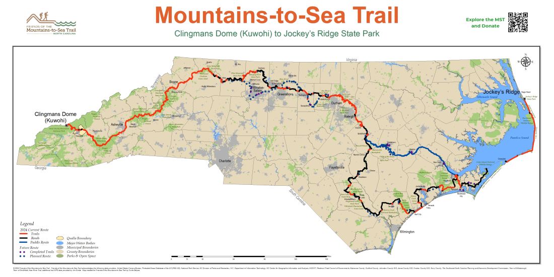
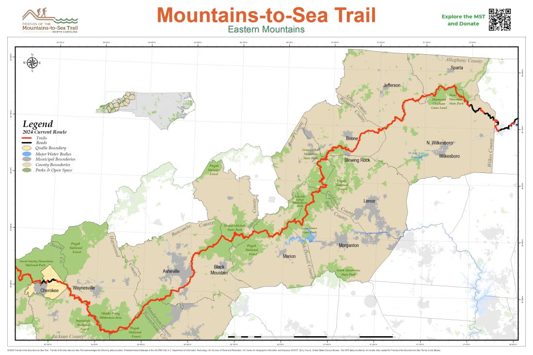
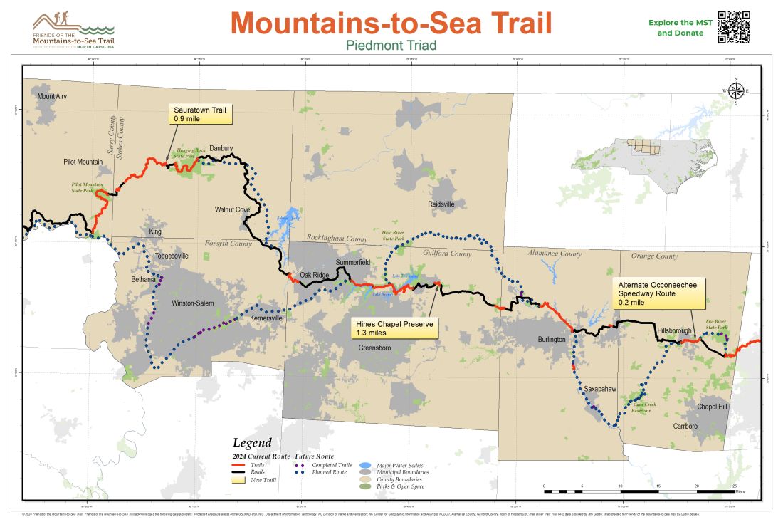
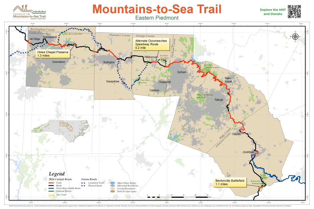
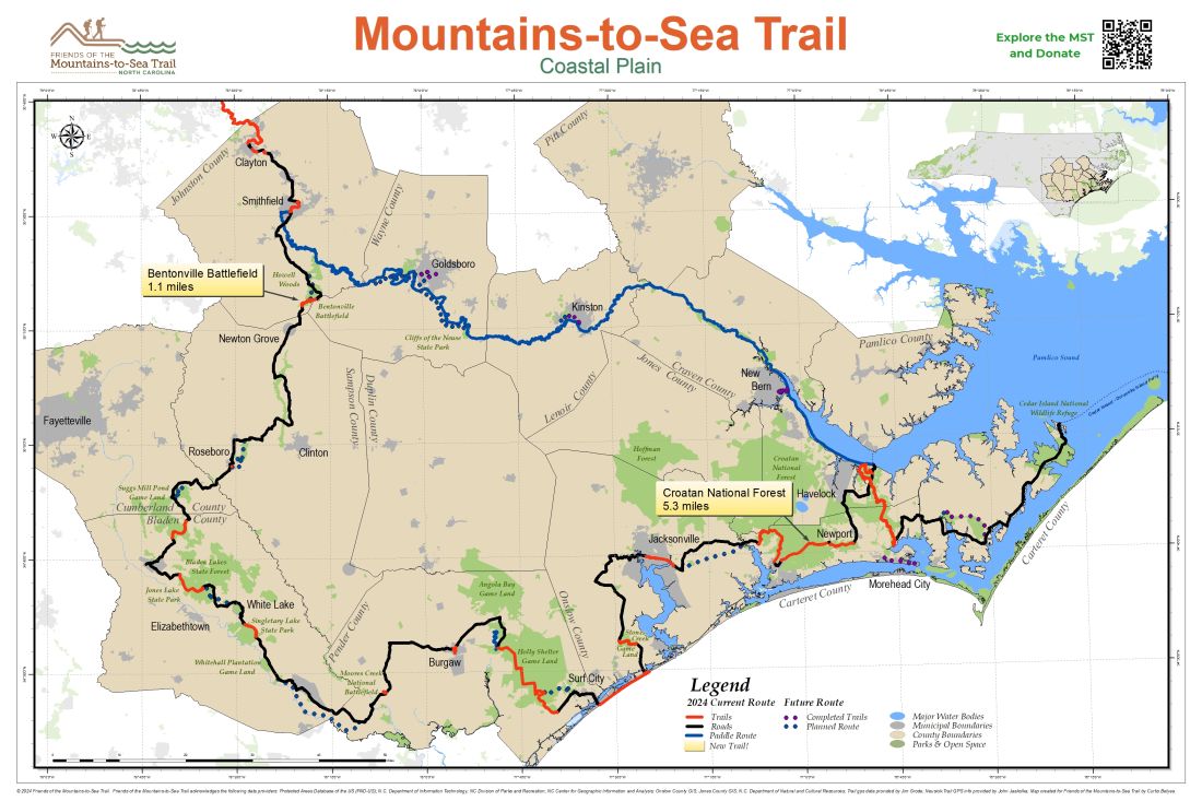
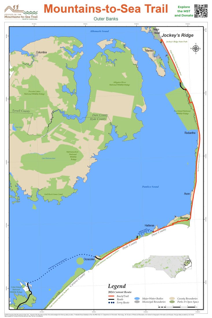
The MST, like all long distance trails, is continually changing as communities get involved, new trail opens, and routes shift. To learn more about visions for the future, check out the maps and plans on the pages below.
Below are maps which give more information about the current route and the planned location of the trail across North Carolina.
Statewide Plans
 Mountains-to-Sea North Carolina State Trail Master Plan (2015)
 Mountains-to-Sea Trail Marketing Plan (Spring 2016)
 Marketing the MST in Your Community (2 pager) (May 2017)
Mountain Plans
 Southwestern Commission 2013 Regional Trails Plan (September 2013)
Piedmont Plans
 Mountains-to-Sea Trail Western Piedmont Section plan (February 5, 2008)
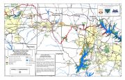 Mountains-to-Sea Trail Eastern Piedmont Section plan (April 25, 2006)
 Mountains-to-Sea State Trail Subsection Plan: Stone Mountain to Pilot Mountain State Park Master Plan (November 21, 2014)
 Stokes County 2035 Vision Plan (April 14, 2015)
 A&Y Greenway Feasibility Study (February 2012)
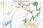 Orange County Plan (January 10, 2018)
Coastal Plain Plans
 A Conceptual Plan for North Carolina’s Mountains-to-Sea Trail: Falls Lake Dam to Cedar Island (April 2004)
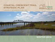 Coastal Crescent Trail Strategic Plan (Winter 2018)
 Johnston County, North Carolina, Mountains-to-Sea Trail Master Plan (October 2006)
 Croatan Regional Bicycle + Trails Plan (2014)
 Goldsboro MPO Bicycle, Pedestrian and Greenway Plan, Chapter 3: Greenway Network (January 2015)


