Day Hike 11: Sheets Cemetery to South Laurel Fork Road
Mindless Wander
Distance: 4.7 miles
- Difficulty: Easy. Flat.
- Camping: No.
- Land manager: National Park Service.
- Volunteer Task Force Leader: Jim Hallsey, jhallsey@skybest.com.
- Piggyback trail: No.
- Connecting trails: None.

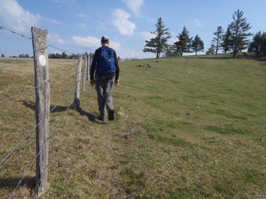
The trail isn’t always marked through meadows. Upon entering a meadow, stop and locate where the trail goes.
One of the joys of hiking is that it can set your mind free. That’s especially true on this 4.7-mile stretch, which doesn’t require as much attention to trail tracking as some stretches of the MST. Rambling past organic pine nurseries, beneath healthy hemlocks and through carpets of running cedar, it’s easy on this bit of trail to let your thoughts drift or disappear altogether. It’s also a good stretch if you’re looking for a fast aerobic workout that will go by quickly.
Likewise, this is a good stretch for trail runners. The tread is even, begins with a general downhill stretch, has a mellow mid-way climb (gaining about 260 vertical feet in about a mile), and finishes with a descent to trail’s end.
View on Map
To see this hike on a map, visit our Interactive Map and click “Day Hikes” to view the endpoints.
Finding Your Way
| Finding Your Way (west » east) | Mileage |
|---|---|
| Trailhead: At Sheets Cemetery road, go around gate and walk 65 feet to where MST goes right into woods. | 0.0 |
| MST winds through woods high above Sheets Overlook on BRP (no access from MST) before going steeply downhill to BRP. | 0.2 |
| Cross to east side of BRP. MST goes up and down before reaching gravel Cameron Mtn. Rd. Turn left on this private road and walk 180 feet past gate. Do not take road to right; MST goes right into woods near BRP. Jesse Sheets’ log cabin (built in 1818) is on other side of BRP. | 1.0 |
| Proceed through young-growth pine stand. There is a moderate climb as trail winds around ravines before descending. Trail passes a cabin on the right before coming to dirt road. Turn left and walk 200 feet to go around gate. Continue 250 feet toward BRP. You are at Alder Gap. Turn right into woods just before BRP. | 1.3 |
| There is a gentle climb to ridgeline before a gentle descent back to BRP. | 1.6 |
| Turn right to walk 0.2 mile on BRP shoulder next to split-rail fence. You pass MP 251. | 2.5 |
| At end of fenceline, MST goes into woods on north side of Darnell Woodie Rd. There is a geological survey marker reading 3,008 feet elevation near MST sign. You cross 4 small log footbridges in this section. Reach BRP at MP 250 and Hiram Bare Rd. | 2.7 |
| Cross BRP to west (left) side at intersection with Hiram Bare Rd. MST goes uphill into woods on north side of dirt road. MST rises above BRP and makes several curves to skirt ravines and avoid steep ups and downs. | 3.6 |
| Trailhead: Turn right on gravel South Laurel Fork Rd. and walk 250 feet to BRP. | 4.7 |


