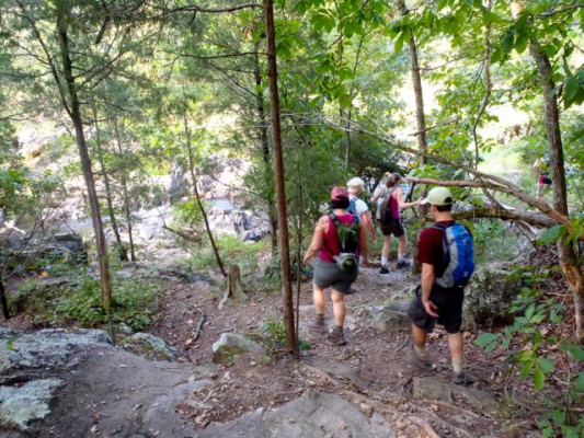
Day Hike 3: Pump Station Access off Rivermont Road to Cabe Lands Access off Howe Street
Laurel Bluffs: Pump Station to Cabe Lands
Distance: 3.5 miles plus two connector trails, one 0.3 mile and one 0.2 mile
- Difficulty: Moderate.
- Camping: Primitive camping near the Cole Mill Access. Go here for details.
- Land manager: N.C. Division of Parks and Recreation.
- Volunteer Task Force Leader: Fred Dietrich, fred.dietrich@duke.edu.
- Piggyback trail: Laurel Bluffs Trail, Pump Station Trail
- Connecting trails: Pump Station Trail (1.5-mile loop at Pump Station Access); Cabe Lands Trail.
- Trailhead/access: Cabe Lands Access, Howe Street west of Sparger Road, and Pump Station Access. These access areas are part of Eno River State Park and have gate hours of 8 a.m. to sunset. There is no overnight parking. Parking can be limited on summer weekends. Click on map below for more detail.
Perhaps the most varied stretch of trail along the Eno. From the trailhead off Rivermont Road, an access trail hooks up with the MST after 0.4 miles. Go left and immediately take in the remains of the old Durham water pump station, for which the area gets its name. The trail briefly follows a feeder creek; before crossing, look upstream and check out the remaining stone walls of a dam that once fed the pump station.
The trail continues upstream through a basin known for its spring wildflower display. It parts company with the 1.5-mile Pump Station Trail, continuing upstream along the Eno. Look across the river and you may see hikers on several miles of trail in the Cole Mill Access section of Eno River State Park. (If you’re of a mind to camp, there’s a nice semi-primitive campground across the bridge and about a mile upstream, in the state park.)
After passing beneath Cole Mill Road, the trail passes through a flood plain, then encounters a number of short, steep climbs in and out of coves, offering suggestions of the southern Appalachians. The trail enters another floodplain, followed by a steady climb into the Cabe Lands Access area.
For detailed hiking directions and parking information, download the Segment 10 guide from our Trail Guides page, using the “Primary Trailheads” section to pinpoint the location. You can also visualize the route on our interactive map.


